| Current season: 2024 Atlantic usercane season |
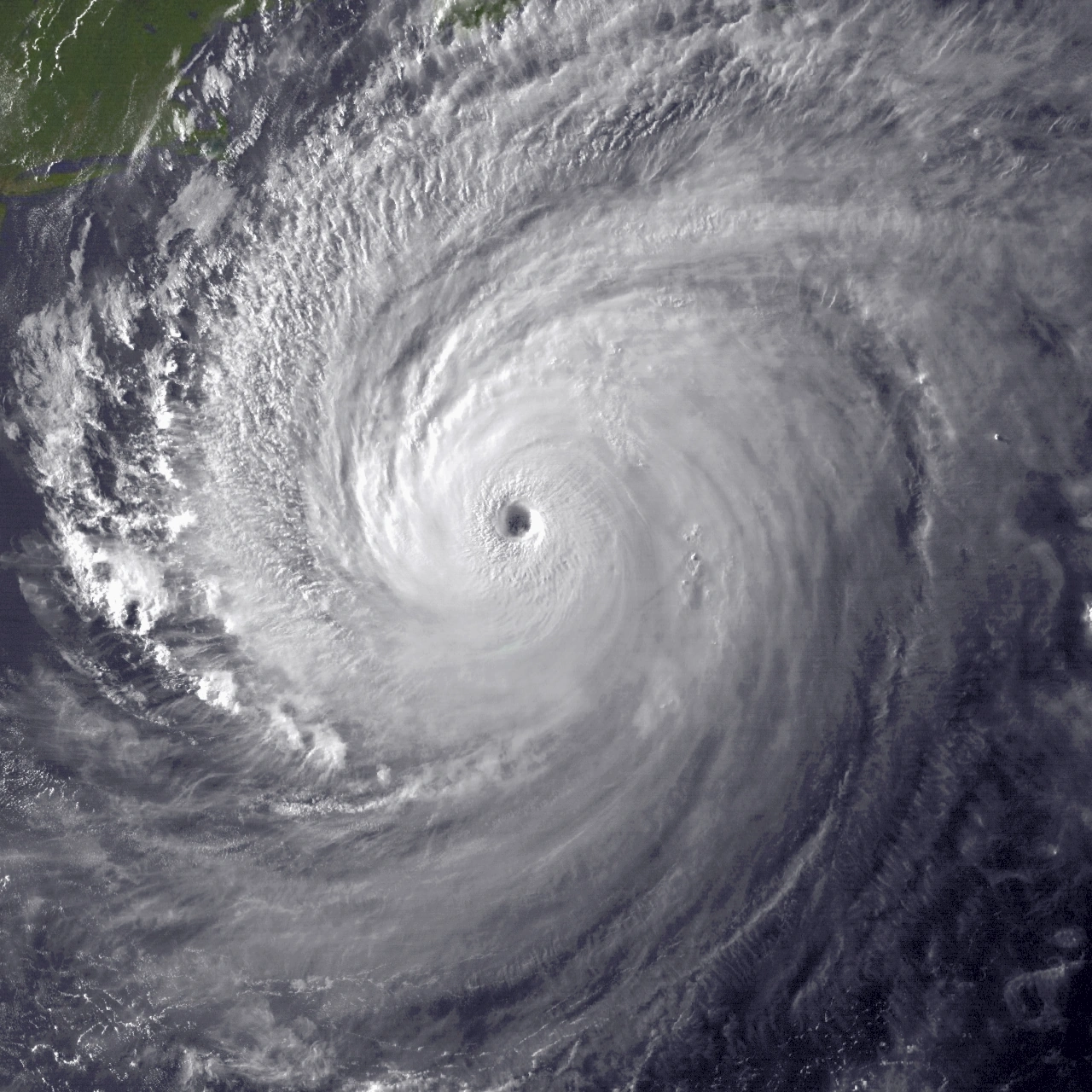
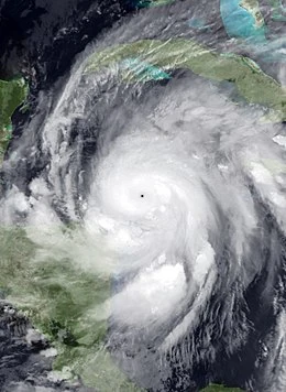
Usercane Hype, the strongest known usercane, in August 2016.
A usercane or tropical usercyclone is a fictional tropical cyclone assigned to users of the Hypothetical Hurricanes Wiki. They are tracked like real hurricanes, but they are typically much more erratic and longer-lived than hurricanes. Some usercanes often last several months or even years, while other weak usercanes dissipate after a few weeks. Usercanes have only been tracked in the Atlantic Ocean, as none have been observed elsewhere.
Much like their Atlantic hurricane counterparts, they are classified by intensities. Tropical userpressions have one-minute maximum sustained winds of under 39 mph (63 km/h) and are numbered in a similar fashion. Tropical userstorms have one-minute maximum sustained winds of at least 39 mph (63 km/h) and are named accordingly, and usercanes have one-minute maximum sustained winds of at least 74 mph (119 km/h). The terms subtropical userpression, subtropical userstorm, and subtropical usercyclones are all used to describe usercanes that obtain subtropical charcteristics.
The National Usercane Center (NUC) is responsible for issuing weekly advisories on these storms, with storms being divided according to the year they initially formed in. In the past, they have been observed by the BNWC, which was the precursor to the NUC created in December 2015, alongside other groups such as the HOWC, HMC, SMWC, CDMC, FMC, KMC and ICON.
Categories[]
The National Usercane Center uses an equivalent of the Saffir–Simpson hurricane wind scale (SSHWS) to classify usercanes. Typically, the intensity of a tropical usercyclone is measured by it's one-minute maximum sustained winds. These nine categories are used to describe the intensities of usercanes:
Potential tropical usercyclone[]
New users with consistent wiki activity
Users can be designated as potential tropical usercyclones (PTU) once they have accumulated at least 150 edits with consistent activity on the wiki. Potential tropical usercyclones will be listed under their respective usercane season, corresponding to when their assigned user made their first edit. Unlike a potential tropical cyclone (PTC) in the real-world Atlantic Ocean, a PTU is considered part of a season once designated. As a fairly new category, they were not introduced until the 2018 Atlantic usercane season.
Tropical userpression[]
| Tropical userpression | |
|---|---|
| Sustained winds | Example |
| <63 km/h <39 mph |
 Tropical Userpression Seventeen of the 2019 season Tropical Userpression Seventeen of the 2019 season
|
Periodic or returning users
A potential tropical usercyclone (PTU) becomes a tropical userpression once the user has accumulated at least 250 edits. The NUC will issue advisories on a new userpression if its associated user has at least 250 edits and has never been on HHW before. Tropical userpressions will be numbered sequentially. For returning users, this criteria is altered based on a user's editing rate.
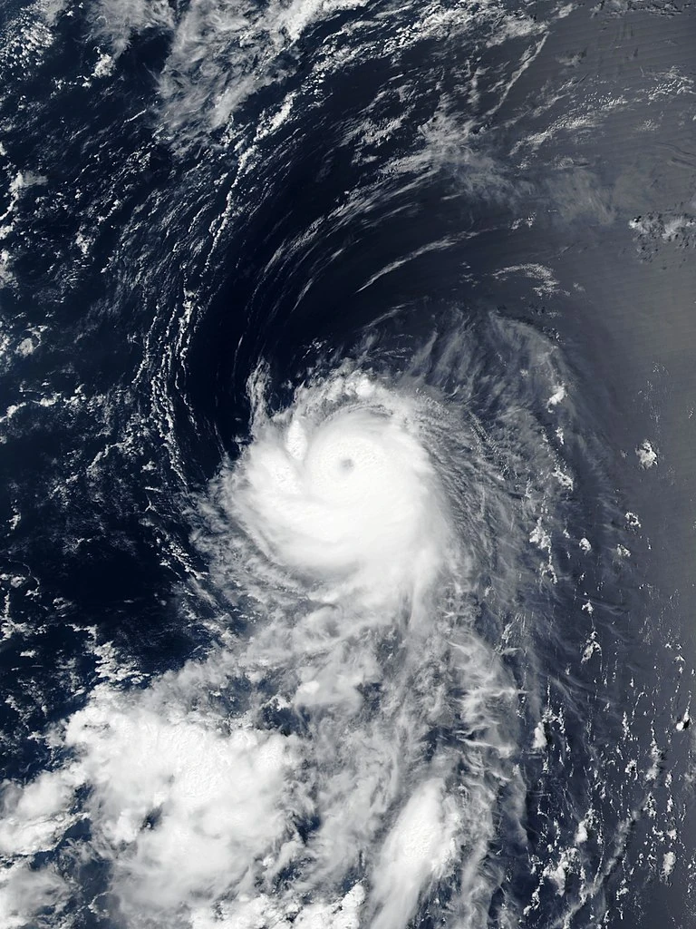
Tropical userstorms[]
| Tropical userstorm | |
|---|---|
| Sustained winds | Example |
| 63–87 km/h 39–54 mph |
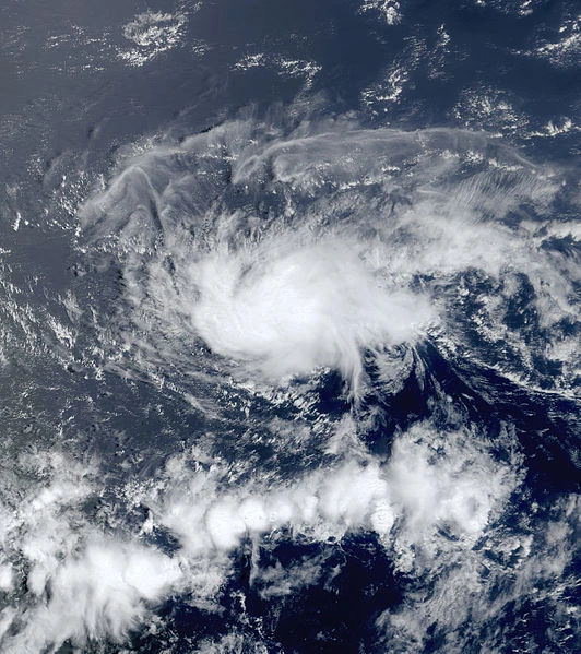
 Marsha, the only storm of userstorm intensity in the 2010 season Marsha, the only storm of userstorm intensity in the 2010 season
|
Active users
If a user maintains their activity on the wiki consistently and achieves no less than 400 edits, they will become a tropical userstorm and consequently, their usercane will be named. Upon classification, the rate of intensification is based on their edits, activity, and behavior (i.e., if a user contributes to the wiki in good faith, stays active, and is in good standing with the community). A userstorm will be capped at 50 miles per hour until the user begins to move up the user rights ladder (i.e., receive promotions to autopatrolled, chat moderator, etc.). If the user's activity is inconsistent or the user does not maintain a presence on the wiki (i.e., goes inactive without warning), their storm may not strengthen at all, weaken, and/or eventually dissipate.
Severe tropical userstorms[]
| Severe tropical userstorm | |
|---|---|
| Sustained winds | Example |
| 89–117 km/h 55–72 mph |
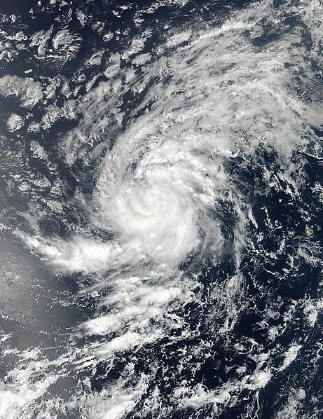 Severe Tropical Userstorm Nova of the 2017 season Severe Tropical Userstorm Nova of the 2017 season
|
Autopatrolled users and code editors
Users that are autopatrolled users become severe tropical userstorms. Upon becoming an autopatrolled user, a user's usercane intensifies to 60 miles per hour, continues to intensify based on their time spent in the position, and maintains consistent activity on the wiki.
Category 1[]
| Category 1 | |
|---|---|
| Sustained winds | Example |
| 119–153 km/h 74–95 mph |
 Usercane Fabian of the 2021 season Usercane Fabian of the 2021 season
|
Chat moderators and rollbacks without chat moderator rights
Users that earn chat moderator or rollback rights become a Category 1 usercane. Their usercane immediately intensifies to 75 miles per hour and continues to intensify based on their time spent in the position, maintaining consistent activity on the wiki and associated Discord server.
Alternatively, a subtropical-equivalent Category 1 usercane is denoted by users who serve as either discussions moderators or Discord moderators only.
Category 2[]
| Category 2 | |
|---|---|
| Sustained winds | Example |
| 154–177 km/h 96–110 mph |
 Usercane Comix of the 2019 season Usercane Comix of the 2019 season
|
Rollbacks with chat moderator rights
Users that earn both chat moderator and rollback rights have their usercane immediately intensify into a Category 2 usercane with wind speeds of 100 miles per hour. It continues to intensify based on time spent in the position, and as the user maintains consistent activity on the wiki and associated Discord server.
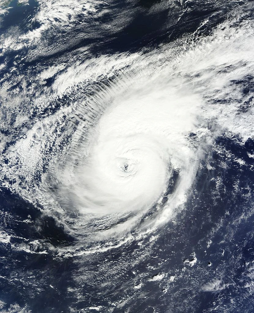
Category 3[]
| Category 3 | |
|---|---|
| Sustained winds | Example |
| 178–208 km/h 111–129 mph |
 Usercane Mario of the 2016 season Usercane Mario of the 2016 season
|
Junior administrators of the Hypothetical Hurricanes Wiki
Users that earn junior administrator rights achieve Category 3 intensity. Upon receiving JA, a user's usercane immediately intensifies to 115 miles per hour and is classified as a major usercane. Like other categories, a user's usercane continues to intensify based on time spent in the position and maintains consistent activity on the wiki and associated Discord server.
Category 4[]
| Category 4 | |
|---|---|
| Sustained winds | Example |
| 209–251 km/h 130–156 mph |
 Usercane Zeta (SpaceZeta) of the 2021 season Usercane Zeta (SpaceZeta) of the 2021 season
|
Administrators of the Hypothetical Hurricanes Wiki
Users that earn administrator rights become Category 4 usercanes. Their usercane immediately intensifies to 130 miles per hour and will continue intensifying based on time spent in the position and maintaining consistent activity on the wiki and associated Discord server. A high-end category 4 usercane (150–155 miles per hour) is typically denoted by an administrator who has served at least three consecutive months.
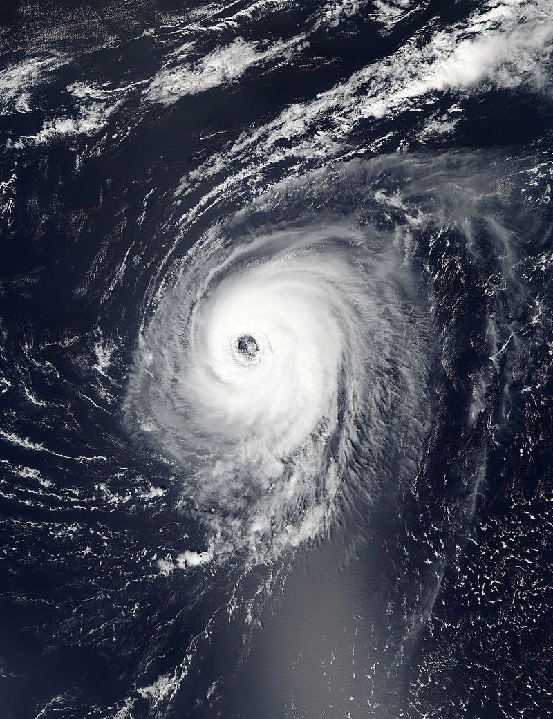
Category 5[]
| Category 5 | |
|---|---|
| Sustained winds | Example |
| ≥252 km/h ≥157 mph |
 Usercane Sjmaven, the first documented usercane in history Usercane Sjmaven, the first documented usercane in history
|
Bureaucrats, community leaders, and veterans of the Hypothetical Hurricanes Wiki
In the past, Category 5 usercanes were denoted by users who earned bureaucrat rights. Nowadays, Category 5 usercane strength can be attained by administrators who serve for at least six consecutive months (denoted by the "C5" and above role on Discord), attaining winds of at least 160 mph based on duration of service. Some usercanes can further intensify to 200+ miles per hour for admins who remain in their role for at least two years or more. Usercanes that exceed the 250 mph threshold (such as Usercane Hype) are extremely rare and are generally the wiki's leaders, bureaucrats, or admins who have served at least four consecutive years.
Other categories[]
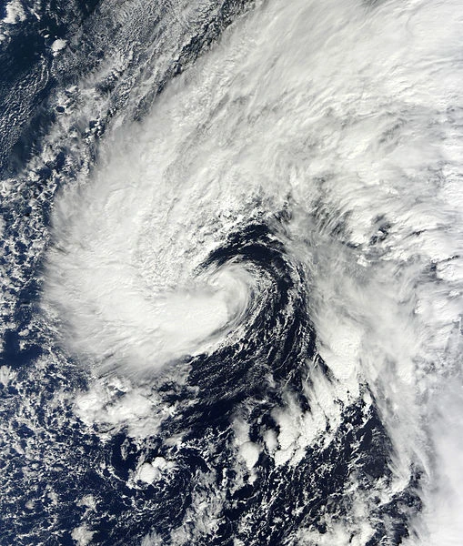

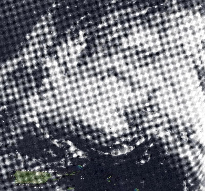
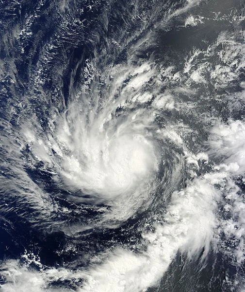
Subtropical Storm Floyd on September 15, 2015.
A usercane or userstorm is considered a subtropical usercyclone if its associated user meets the requirement for classification as a usercane, but does not intend to join HHW full-time. It is also assigned to users that are blacklisted from user rights, semi-retired, returning from an extratropical state, or has planned to go inactive for a long period of time. If the user no longer meets one of the five requirements, their usercane becomes fully tropical. Subtropical usercyclones very rarely grow into Category 5 intensity while subtropical; a very rare case of this was Usercane BeoBlade in September 2015.
When a user goes inactive, whether arbitrarily or officially, their usercane is no longer active and the final advisory is issued upon classification, although some storms may regenerate if the requirements are met once again. Former tropical usercyclones are denoted as extratropical usercyclones, which occurs when a user retires from the wiki, or a remnant low/post-tropical usercyclone, which occurs when a user disappears from HHW randomly or stops editing for a period of time without officially retiring or semi-retiring.
Formerly, the invest categorization system existed from January 1, 2017 to January 1, 2019, when it was officially deprecated by the National Usercane Center. Prior to January 1, 2017, users were designated as "invests" if they had either 1 to 5 edits, or 0 edits and a chat appearance. From January 1, 2017, to January 1, 2019, this threshold was raised to 5 to 24 edits, or 1–5 edits and a chat appearance.
Climatology[]
| Total and average number of tropical userstorms by month (2010-2017) | |||
|---|---|---|---|
| Month | Total | Average per year | |
| January | 10 | 1.3 | |
| February | 8 | 1.0 | |
| March | 4 | 0.5 | |
| April | 11 | 1.4 | |
| May | 9 | 1.1 | |
| June | 15 | 1.9 | |
| July | 11 | 1.4 | |
| August | 10 | 1.3 | |
| September | 18 | 2.3 | |
| October | 21 | 2.6 | |
| November | 15 | 1.9 | |
| December | 9 | 1.1 | |
The Atlantic usercane season has no seasonal bounds; it runs from January 1 to December 31 each year. There have been a total of 141 tropical userstorms recorded from 2010 to 2017, with an average of about 17.6 per season. Userstorms and usercanes have been recorded in all months; however, some months are more active than others. The most active month, on average, is October, featuring 2.6 storms per year on average. The least active month, on average, is March, averaging only a storm every other year. The season does not have a distinct peak, although it is generally considered to be from June to November, concurrent with the Atlantic hurricane season.
An average usercane season, according to the NUC (2010–2017), features 17.1 named storms, 7.1 usercanes and 5.8 major usercanes.
Accumulated usercyclone energy[]
- See also: HHW:CONVERSIONS
The accumulated cyclone energy (ACE) of a usercane, or accumulated usercyclone energy, is calculated by summing the squares of a usercane's wind speed in knots at one-week intervals, divided by 10000 (e.g. 40 mph in knots is 35 kts). 35 kts multiplied by 35 kts equals 1225. 1225 divided by 10000 equals 0.1225, which is the usercane's wind speed at a specific time. To remain consistent, wind speeds are measured on Fridays at 00:00 UTC. Subtropical cyclones are included, but not systems with winds under 34 kt (39 mph). Usercane Hype so far has the highest ACE of all usercanes.
The formula below is used to calculate a usercane's ACE at weekly intervals. "vmax" is the estimated sustained wind speed in knots.

See also[]
- List of usercane seasons
- List of usercane records
- List of Category 5 Atlantic usercanes[note 1]
- List of Category 4 Atlantic usercanes[note 1]
Notes[]
- ↑ 1.0 1.1 These estimates are by the ICON Usercane Center and may be out of date.